
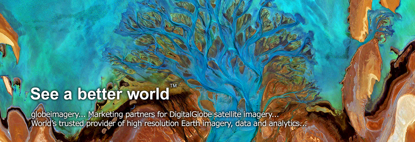
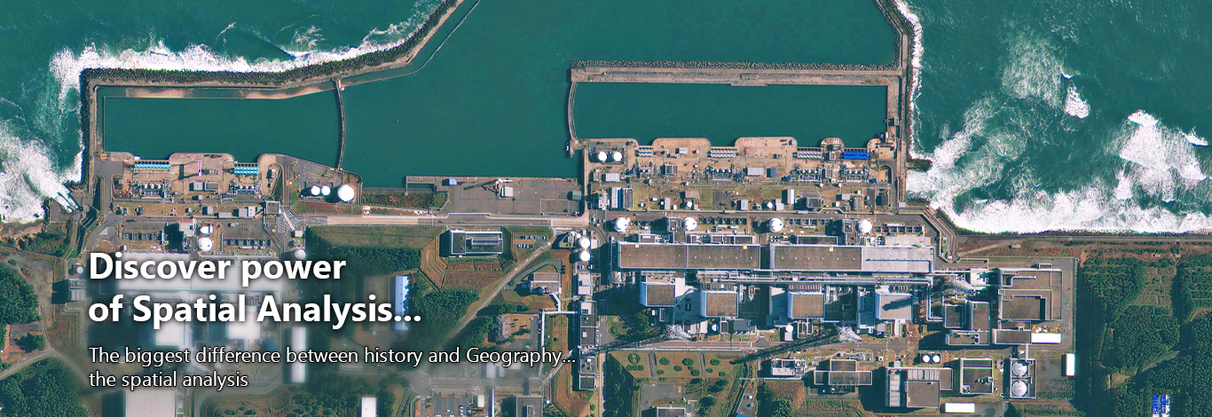
Maxar Satellite Imagary
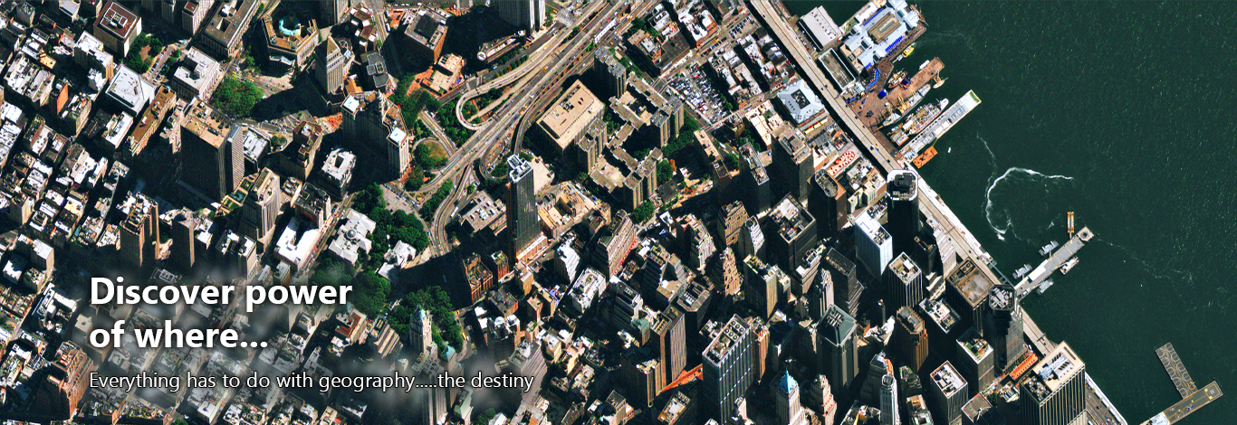
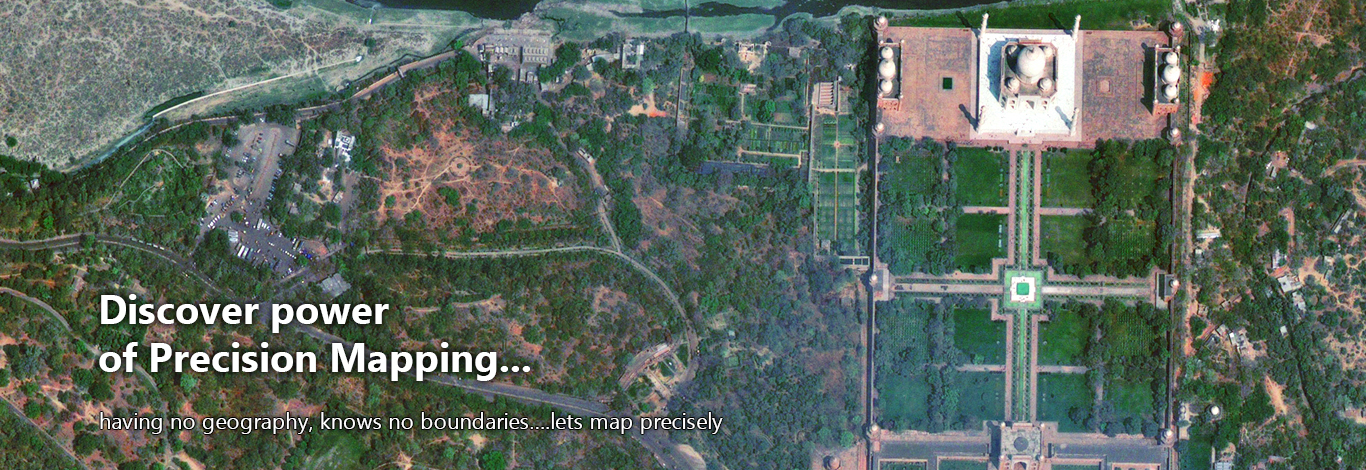
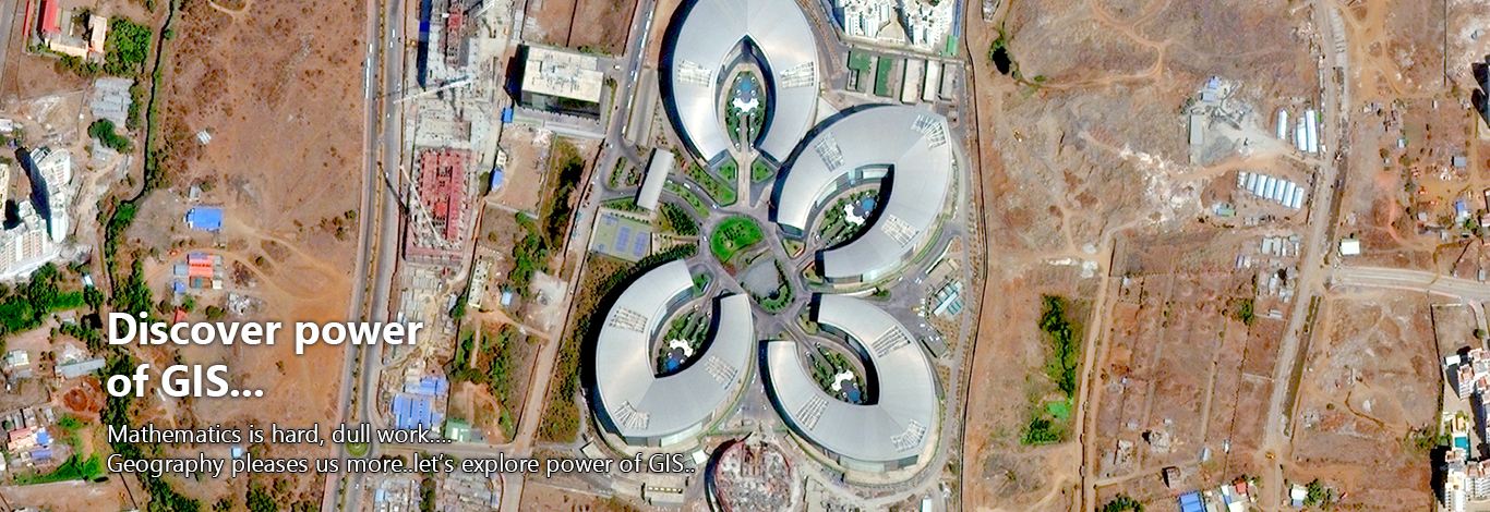
Maxar satellite and aerial images cover significant areas of the world. With the rapid collection capabilities of our constellation we can reach the widest geographic areas quickly and easily without the deployment of onsite surveying. Establishing an accurate base map is critical for state, local, and federal agencies worldwide. You can quickly create an accurate base map with our images and integrate them into GIS to enhance vector map layers and serve as the ground truth for other applications.
Sales and Business Enquiry: info@globeimagery.com
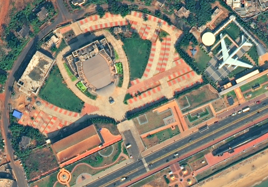
HRSI (High Resolution Satellite Imagery) DOWNLOAD BROCHURE

High Resolution Satellite Imagery