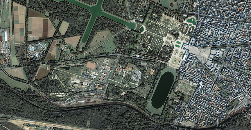
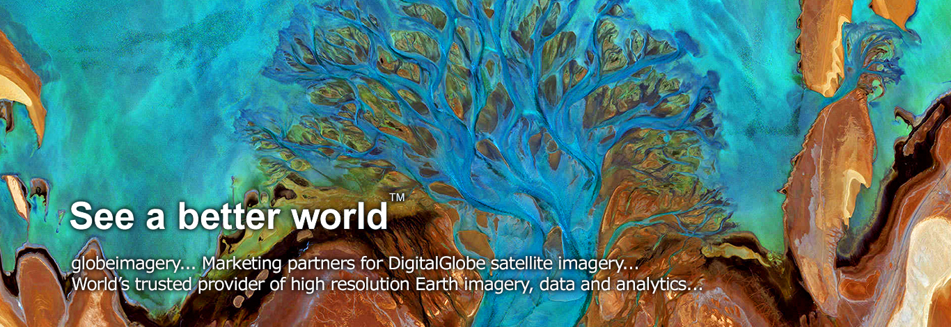
HRSI (High Resolution) Satellite Imagery procurement and processing
globeimagery technologies procures and delivers efficient high and medium resolution imagery through its strategic alliance partner.
GIS and Mapping Services
At globeimagery we have established state-of-the-art GIS, Remote Sensing, Ground Survey and Digital Mapping capabilities through adoption of latest digital cartographic techniques.
The strength of our organization lies in Spatial Data creation, Parcel mapping, Processing of Satellite Images / Aerial photographs, Land surveys depending on the needs of the customer.
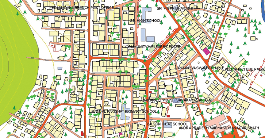
Parcel and property mapping for urban information system
globeimagery Team is having good domain knowledge in developing a municipal GIS system to manage various tasks of a Local municipal Govt. such as Property Tax, Land property details, Town planning & Health Dept.
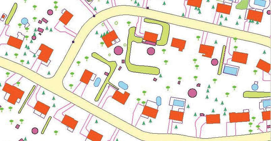
Utilities Network Mapping
globeimagery Team offers utility conversion services for utility supply lines (Telecom, Electric, Water and Gas Networks).
We are experienced in using multiple GIS platforms including AutoCAD and other high-end software's like GE Small World and Arc FM. We specialize in utility mapping which consists of services including digitization, modeling, land base creation, raster to vector map conversion etc.
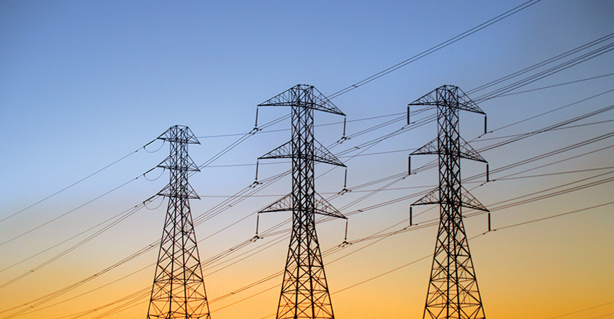
Electrical and Telecommunication Network
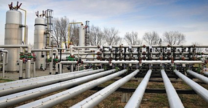
Oil and Gas Pipeline Network
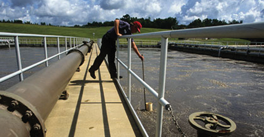
Water and Sewer Network
ILIS (Integrated land information system) for cadastral and revenue mapping
At globeimagery, we offer services in Topographic Mapping and Cadastral Mapping. globeimagery has undertaken many cadastral mapping projects for legal boundary surveys for the Government of India and already mapped over 300,000 Sq Km areas of cadastral mapping.
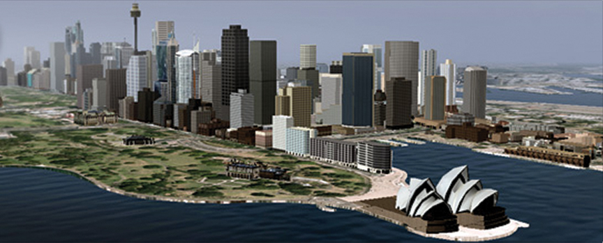
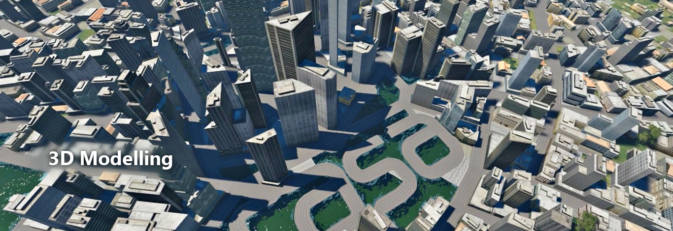
3D Modeling
globeimagery helps visualize the urban space in three dimensions and comprises a diversity of applications mostly in geography and urban studies.