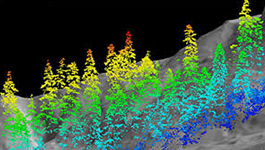
globeimagery provide a fullrange of Digital Photogrammetry services, which include, Aerial Triangulation (AT), DTM/DEM, 3D Planimetry, Orthophoto etc. The services also include the LiDAR data processing, classification and feature extraction. Our project expertise ranges from creating basic planimetric features to complex 3D city models.
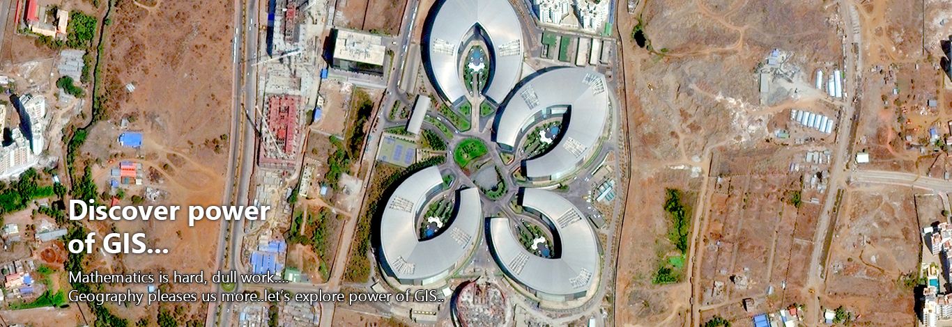
The core of globeimagery's competency lies in the expertise of providing geospatial solutions to the multifarious clientele in wide domain areas.
Our experience in maintaining a complete control over all the processes assures the delivery of high accuracy data output and keeps the data costs low.
We are having experienced technicians and professionals consistently deliver data products of superior quality and services within the given time and budget.
At globeimagery , we integrates the technology, people and business processes to develop innovative and cost-effective services to domestic as well as international clients. The services allow accurate and efficient way of data collection that proves to be an important input for planning and designing of photogrammetric and LiDAR projects.
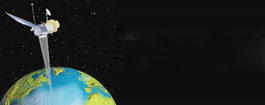
Remote Sensing Services
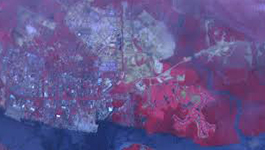
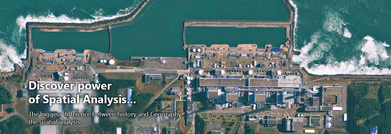
globeimagery has extensive experience in remote sensing, image interpretation, and image classification through projects ranging from a few hundred to millions of acres. globeimagery specializes in land use and cover classification using satellite imagery.
LULC classification
globeimagery has performed projects requiring the manual interpretation and extraction of GIS features from digital photographic images as well as high-resolution satellite images. globeimagery image classification projects have resulted in the creation of complex GIS layers with associated database tables consisting of detailed quantitative descriptions of classified features.
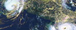
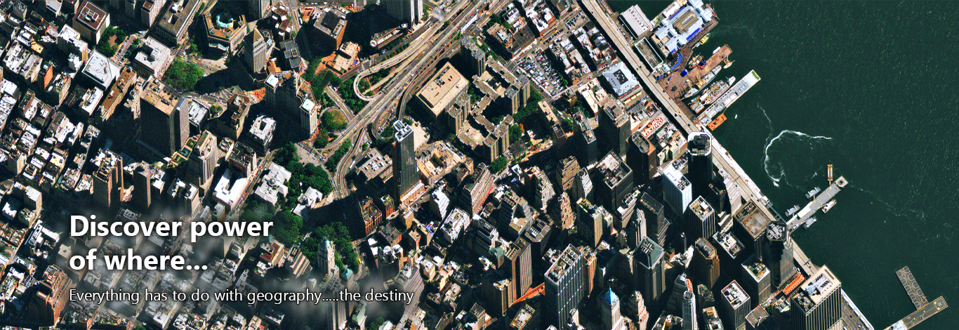
Using High resolution satellite imagery, we at globeimagery are capable of mapping anywhere in the world. We utilizes high resolution satellite imagery for land cover mapping, change detection analysis, forest land inventory, topographic modeling, and as a baseline data for future evaluation We at globeimagery use Image Classification techniques to produce vegetation and land cover maps.
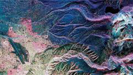
globeimagery has extensive experience in satellite image interpretation and processing, having worked with most of the commercially available satellite data products
Image Interpretation
globeimagery has extensive experience in developing high quality GIS data from digital imagery. Whether collected from aircraft or satellites, digital images can be used as a very cost-effective source material for developing an accurate and complete land base for your GIS. globeimagery has experience in using aerial and satellite imagery from a wide variety of sources. We have compiled geospatial data for both small and large.
We at globeimagery have the ability to handle large volumes of images, automate most of the data management processes, and pass on the productivity gains to the client in terms of fast turn-around- time and competitively priced solutions.
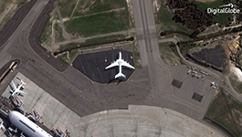
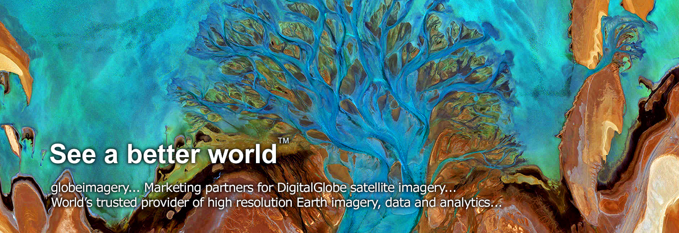
Maxar Imagery Products - Reseller
All products are available with .50-metter or 1-meter resolution.
The observed accuracy performance for Maxar Products is consistently better than the 5m CE90 specification. To read about accuracy test results.
Photogrammetry Services
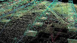
Aerial Triangulation
globeimagery delivers high precision Aerial Triangulation services delivering perfectly carved GIS related aerial photo interpretation. We interpret aerial photographs for all your aerial triangulation/photogrammetry requirements. We deliver AT results in various industry standard formats. globeimagery AT services include
- Block Triangulation and Analysis
- Automatic and Manual Aerial Triangulation
- Aerial Triangulation of digital images
- Exporting aerial Triangulation results
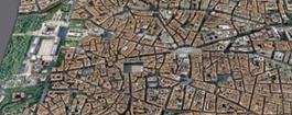
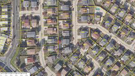
Planimetric/Vector Feature Extraction
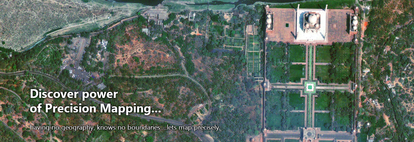
globeimagery has state of the art photogrammetric mapping facilities. Before to start a vector compilation project, an accurate estimation is done regarding the time, man power and project duration. To analyze the project requirements and expectations of the client, we review the project based on standards and specifications that are documented in compliance with an ISO 9001:2000 certified process, to ensure a smooth production flow.
As per the project specifications and client requirements, various kinds of features (Buildings, Roads, Man Holes, Drains, Light poles, Streams, Fences, and Parking etc.) are captured on Digital Photogrammetric Workstations using scanned/digital images.
- Capturing planimetric and DTM features for stereo plotting scales ranging from 1:1000 to 1:5000
- Digitizing manual contours for any scales
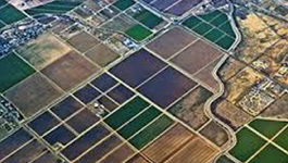
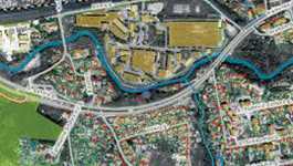
Digital Orthophoto Production
Our Orthophoto Production services include Ortho-mosaicking, Color Balancing, Seam line editing and Tile cutting. We undertake Orthorectification with constant elevation sources in various formats.
We at globeimagery generate a digital Orthophoto that most closely achieves the resolution of the continuous tone, original aerial image; we apply a variety of image enhancement and edge sharpening routines using special Image Processing techniques.
The process involves color / contrast matching and feathering techniques to ensure a virtually seamless mosaic. Many images can be mosaicked and resampled to produce an overview image file to supplement the original orthoimages. Accuracy is measured by comparing the rectified position of ground control point to the true coordinates of the point.
At globeimagery we create Orthophoto with pixel size of 10cm, 20cm & 40cm.
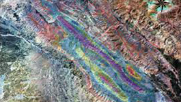
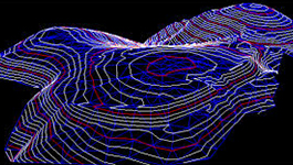
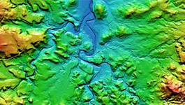
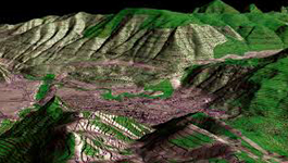
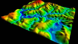
Digital Elevation Model / DTM Model
We create fully detailed digital terrain models (DTMs) for contour generation, Orthophoto Production rectification and digital elevation models (DEMs) for specialized applications such as 3D modeling and volumetric calculations.
Using photogrammetric software a dense point cloud of heights is generated in multi images through automated elevation collection (correlation). The results will be verified manually by using powerful editing tools. As a final step the DTM is generated.