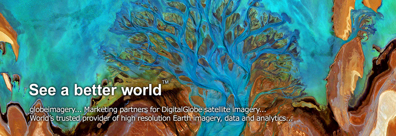


About Us
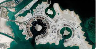
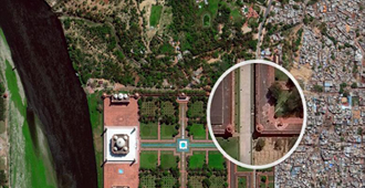
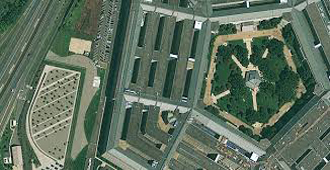
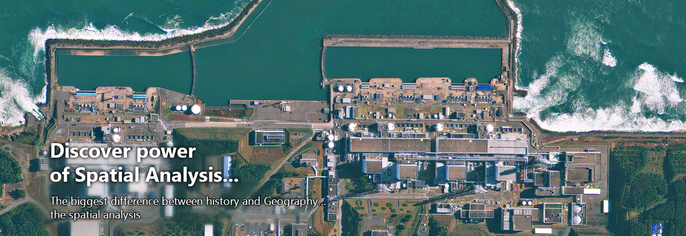
globeimagery was established with a focus on providing high resolution satellite image data and imaging solutions to the customers worldwide and the local Govt to help our customers solve their most difficult challenges.
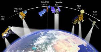
globeimagery, official marketing partners for Maxar , www.maxar.com , the world leader in providing very high resolution satellite image data for the customers worldwide.
- By Having most sophisticated commercial satellite constellation in orbit, we create the world's smartest images - giving customers the confidence to make the decisions that matter most.
- By helping our customers solve their most difficult challenges, DigitalGlobe has become the trusted partner of dozens of industries worldwide - from environmental monitoring and mapmaking to defense and public safety.
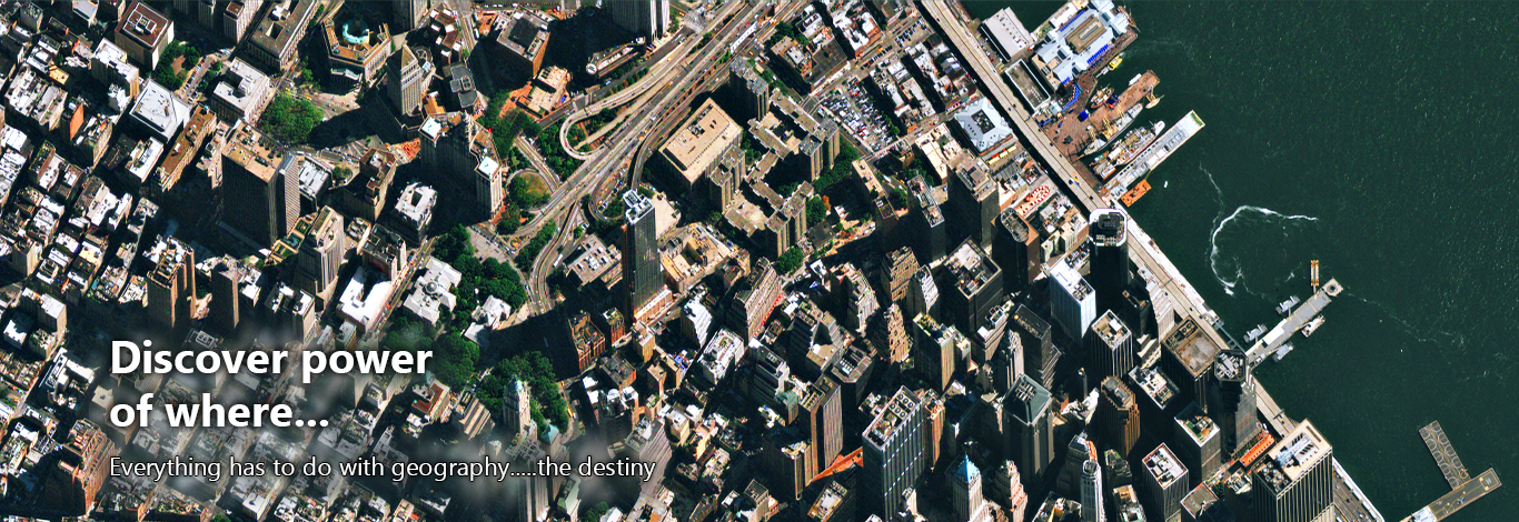
Industries We Serve
- Telecommunications, Electrical Distribution
- Oil and Gas Industry.
- Road NW for Transportation, VTS and Fleet Management
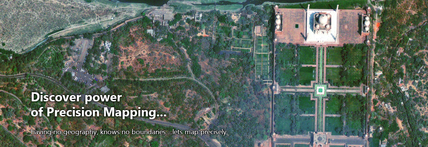
- Urban Land Use and town Planning
- Forest and Agriculture Resources Management
- Non conventional energy Industry.
News & Events